Make transit information easier to use & publish
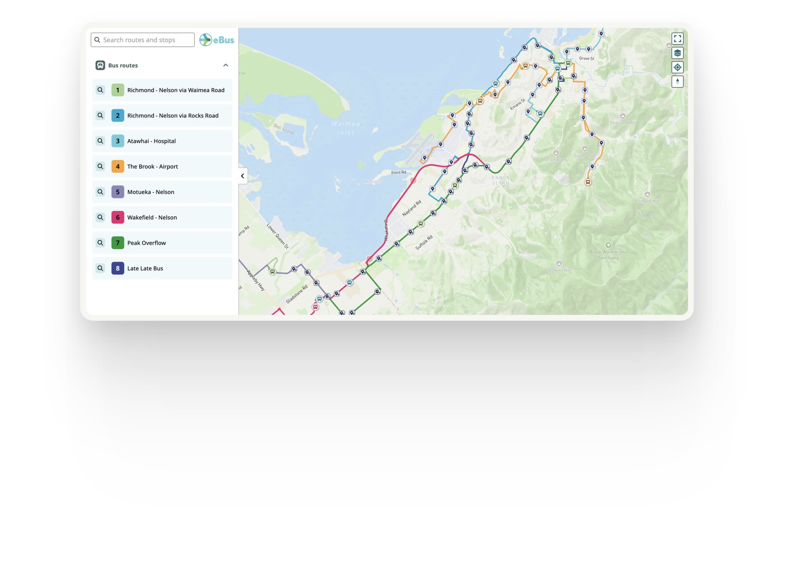
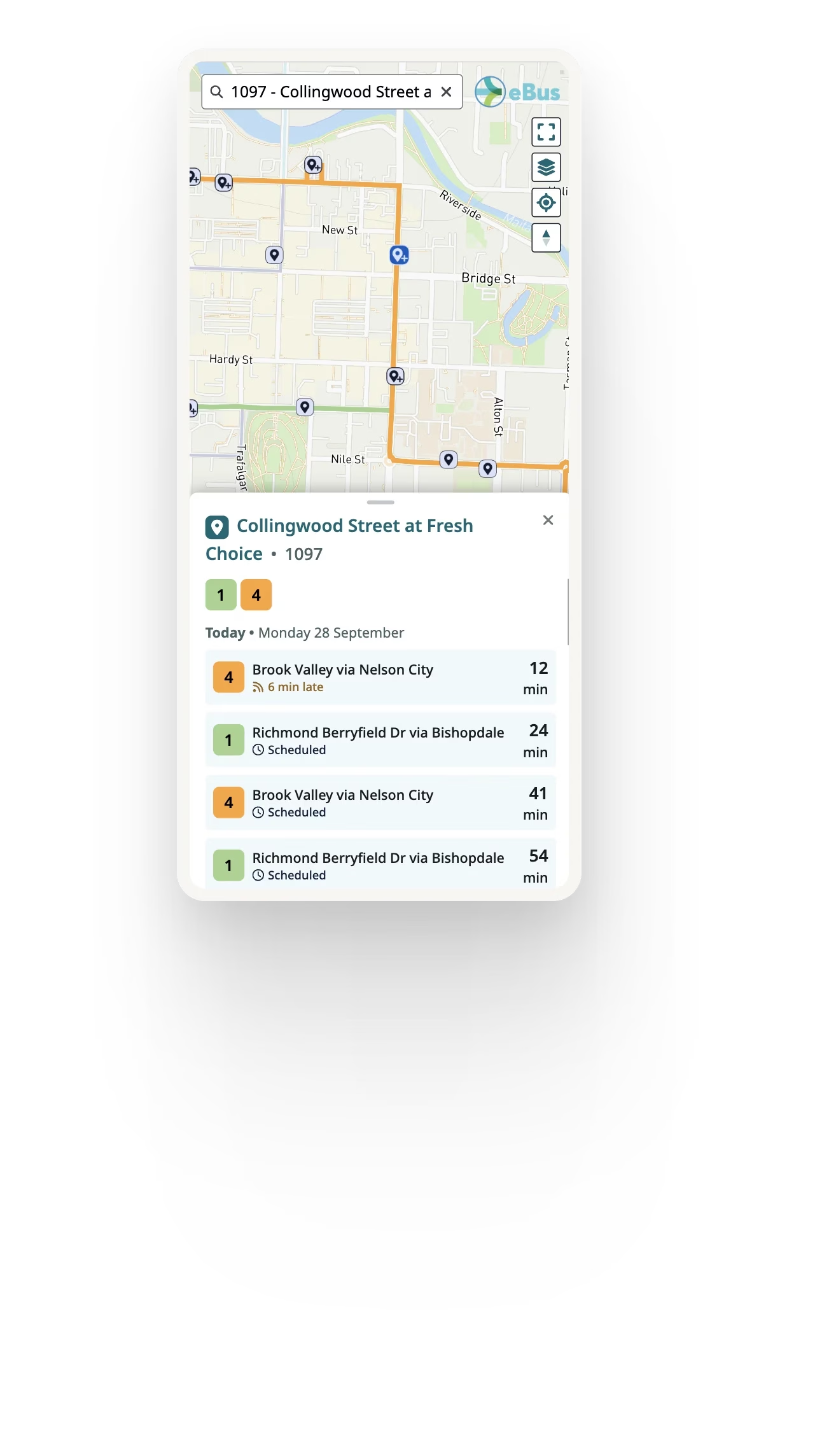
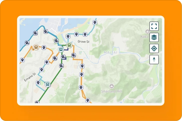
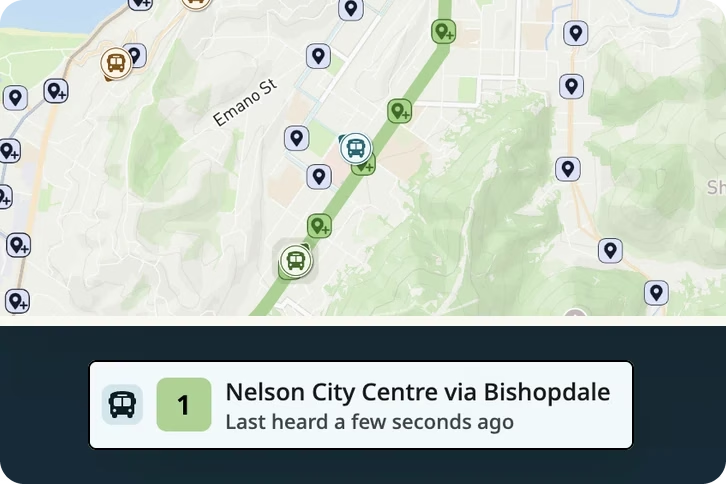
Ride Guide turns your existing GTFS and real-time transit data into clear, accessible maps and passenger tools that integrate directly into your website.




The passenger information jobs your team does by hand
Each one costs staff time and budget, and each one has to be redone every time service changes.

GTFS
Your schedules & stops

GTFS-RT
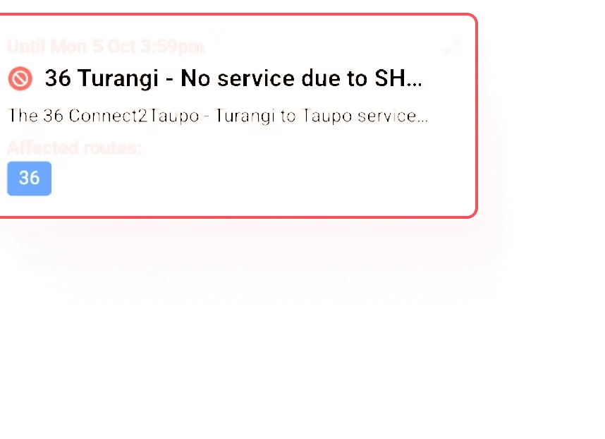
Live vehicles, trip updates & alerts
Ride Guide takes over every one of these jobs, using the transit data you already publish.
Everything your riders need to understand your network
When your GTFS changes, each product updates itself on your website, in your PDFs and in the rider apps your passengers already use.
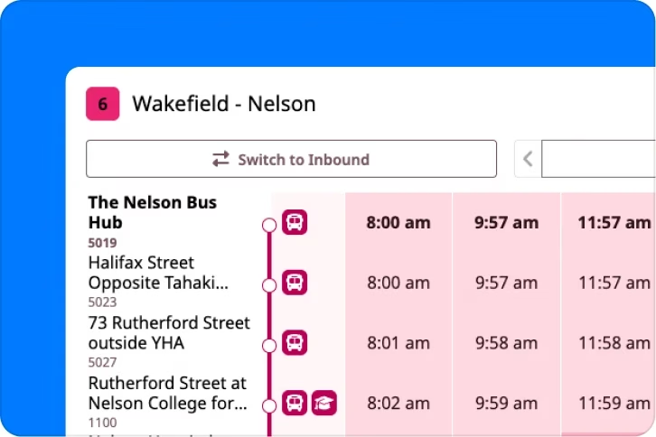
Route Timetables
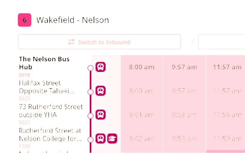
Turn GTFS schedules into clear, readable, responsive web timetables.
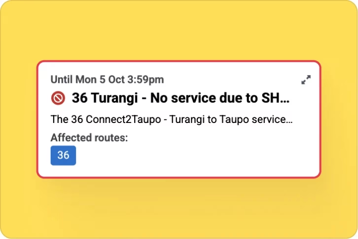

PDF Schedule Publishing
Generate consistent, passenger-ready schedules from your transit data.
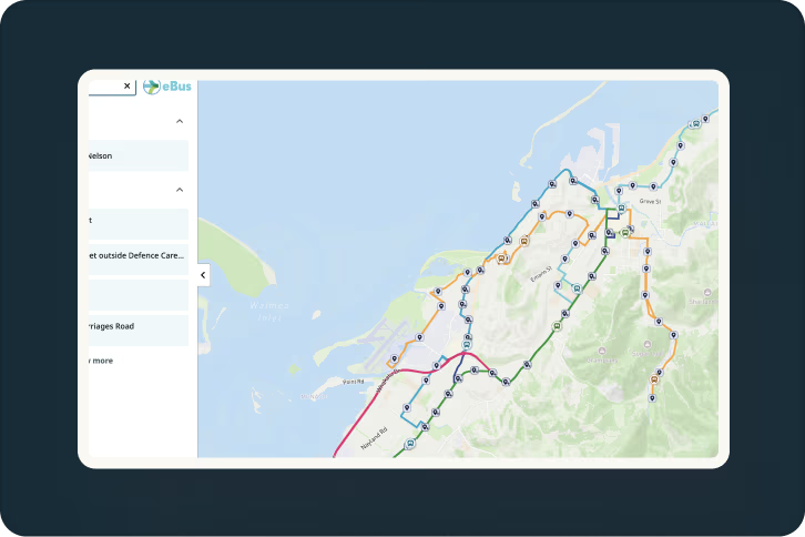
Publish passenger information from one source of truth
Transit agencies already maintain the information riders need. The challenge is turning that data into understandable, accessible passenger information across websites, maps, timetables, PDFs and other channels.

Maintain it once
Your GTFS and related transit data remain the underlying source.

Fewer manual updates
Update your data once, your website and PDFs all refresh from it, so a service change no longer means separate CMS edits, map replacements and timetable rebuilds.

Help riders travel with confidence
Know the information your riders are seeing is trusted, current, and the same across all channels.




































Designed to fit your website - not replace it
Ride Guide adds passenger-information tools to the website and digital environment you already have. Keep your CMS, website partner and agency branding while avoiding the cost and ongoing effort of building maps, timetables and transit-data processing from scratch.



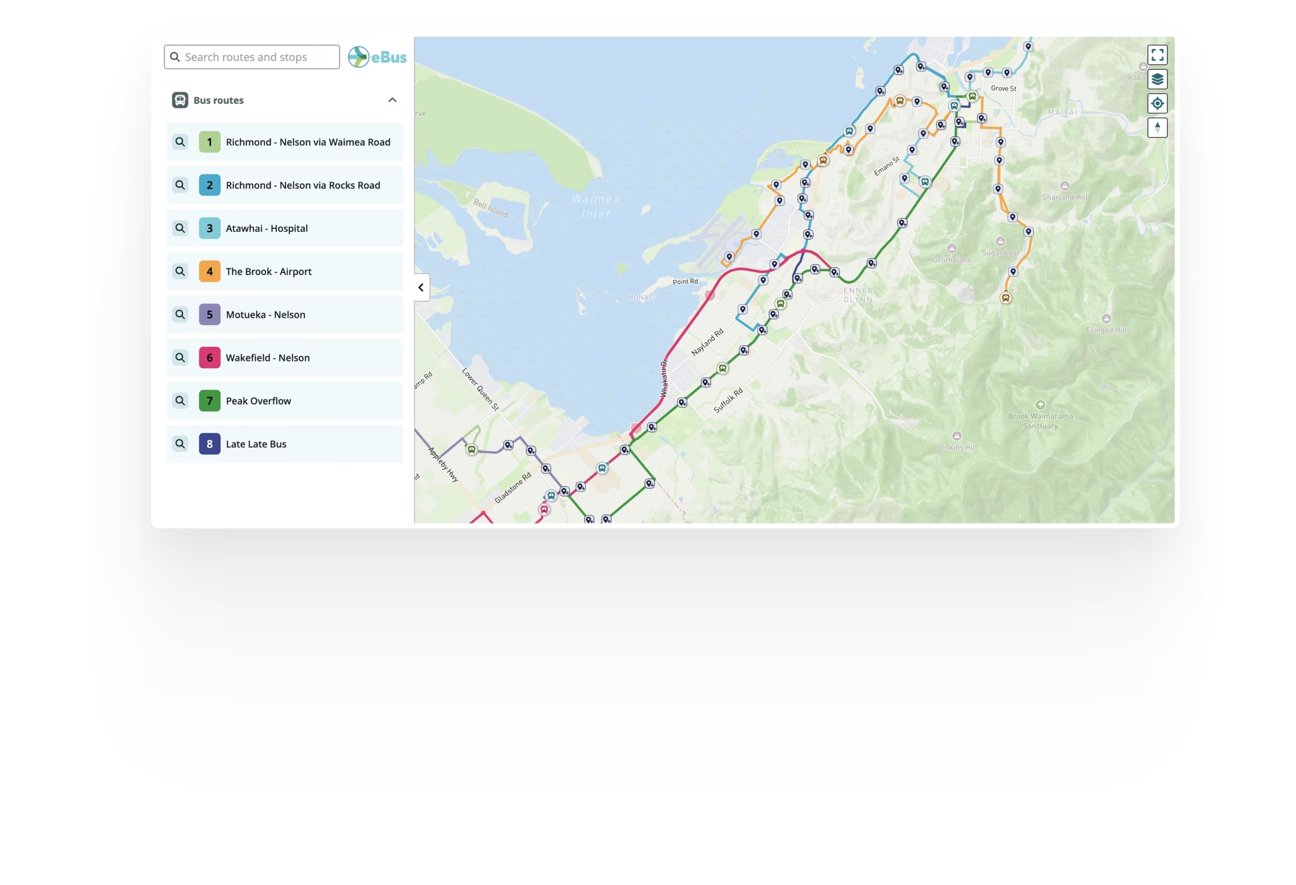

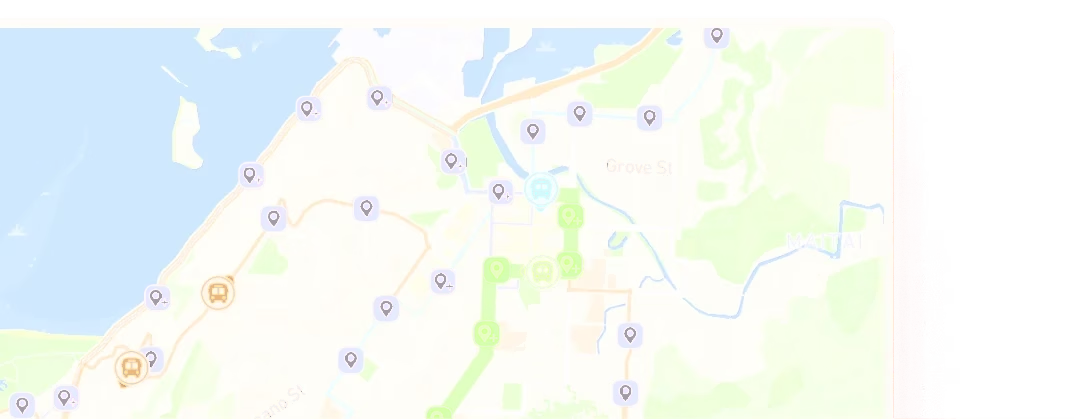
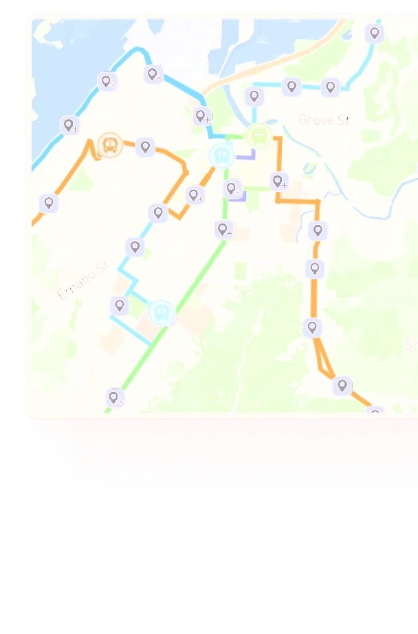

See Ride Guide using your network
Share your GTFS feed and we'll show you how Ride Guide could work with your network.